|
1
|
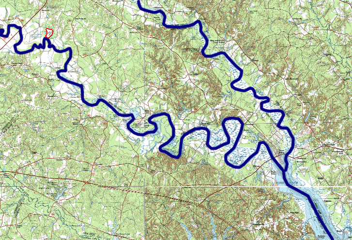
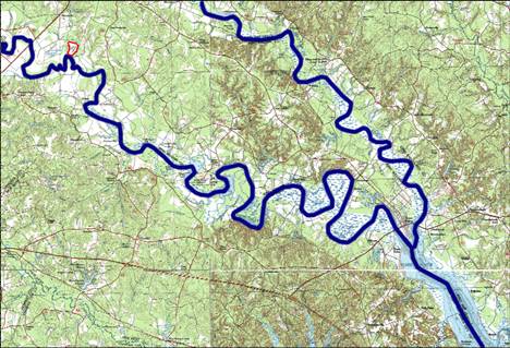
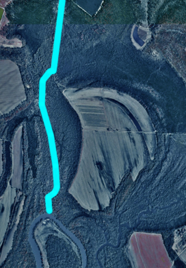
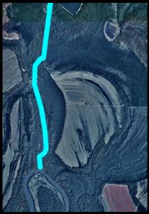
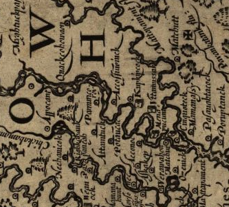
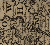
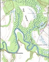
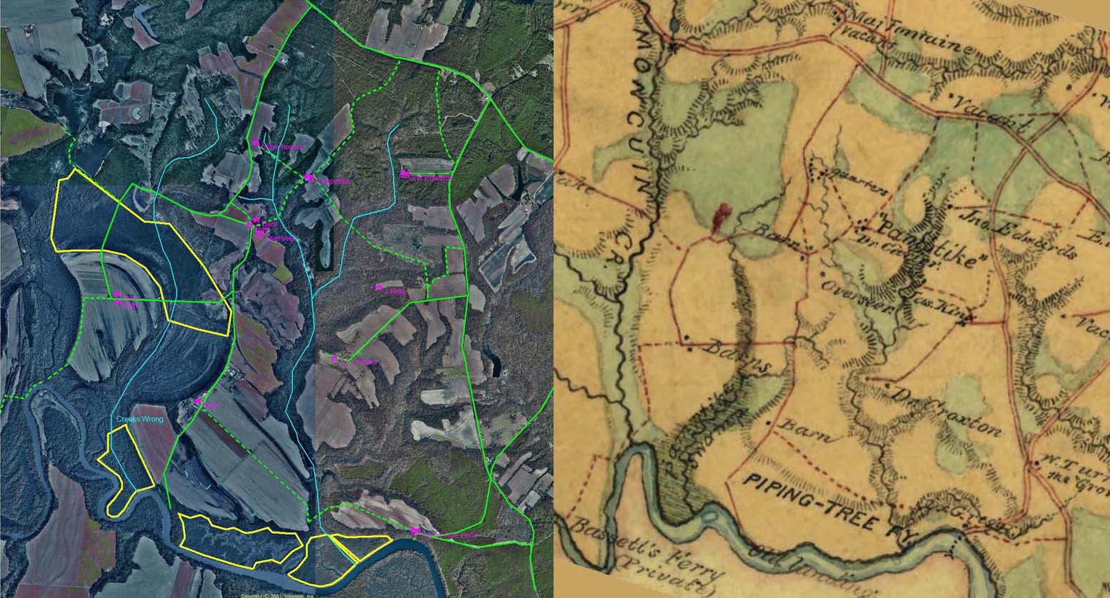
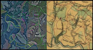
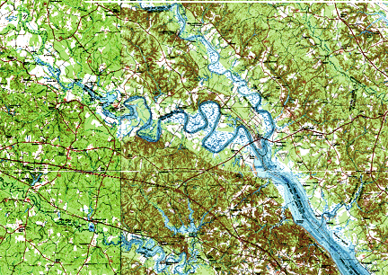
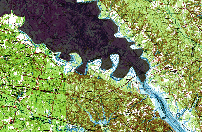
- The Langford map and recognition of Horseshoe Island change the location
of this historic fight.
|
|
2
|
|
|
3
|
|
|
4
|
|
|
5
|
|
|
6
|
|
|
7
|
|
|
8
|
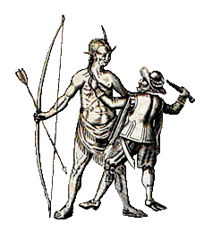
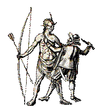
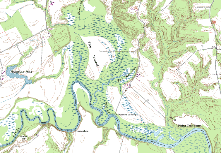
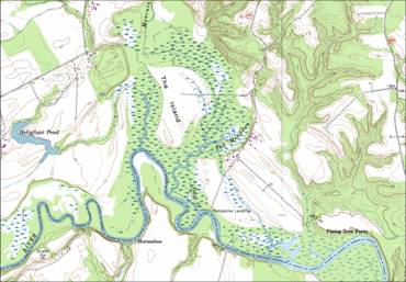
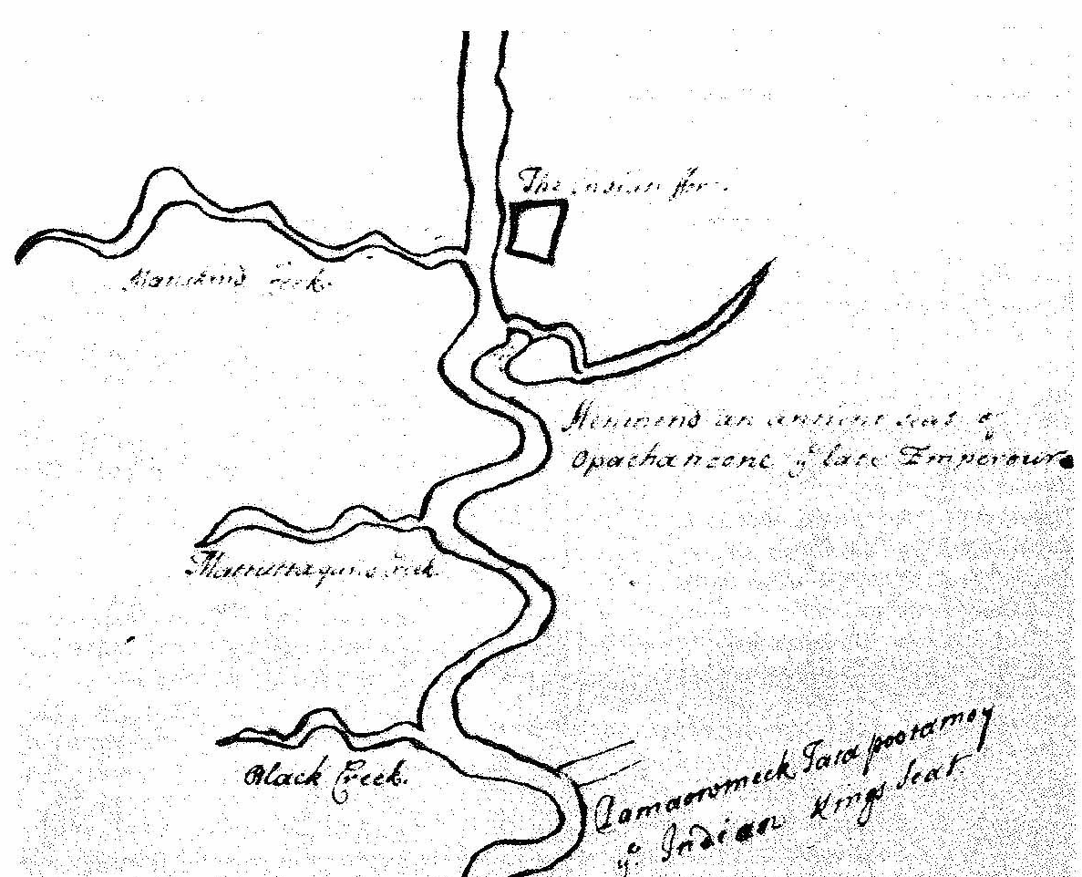
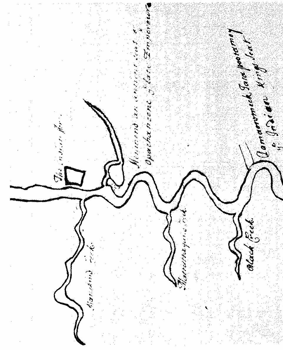
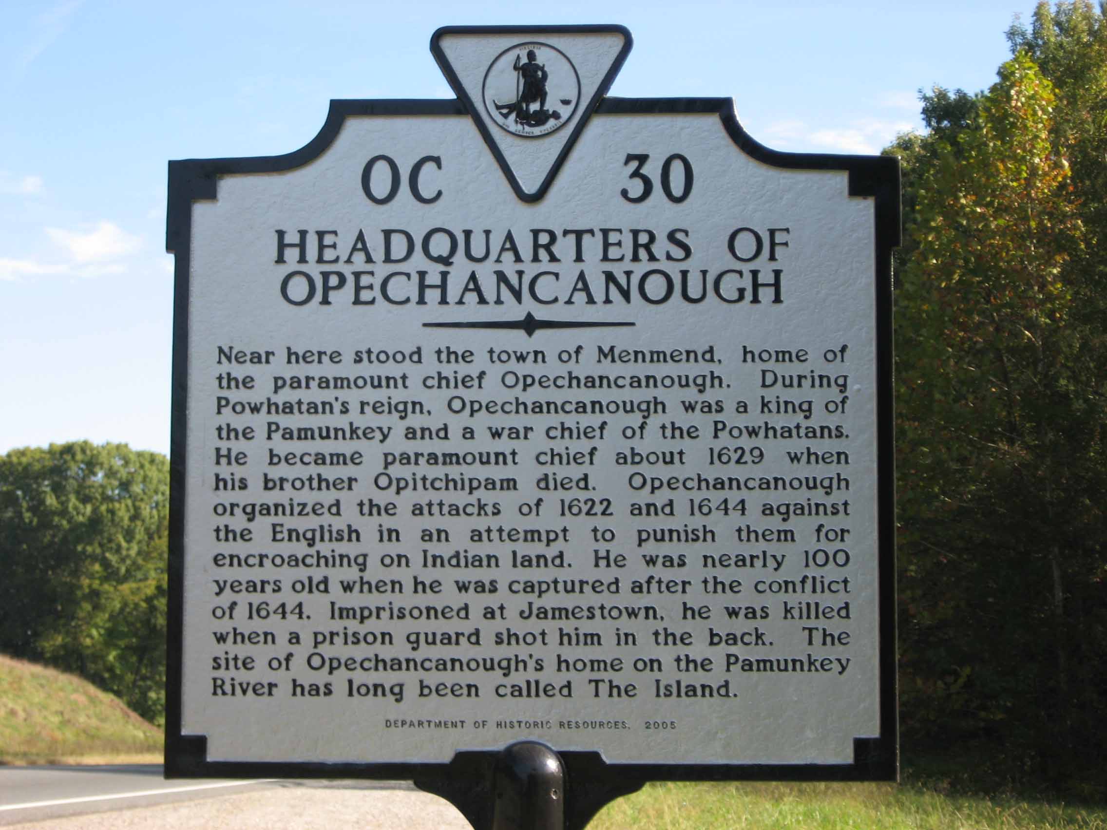
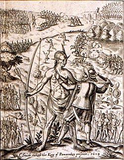
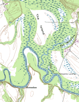
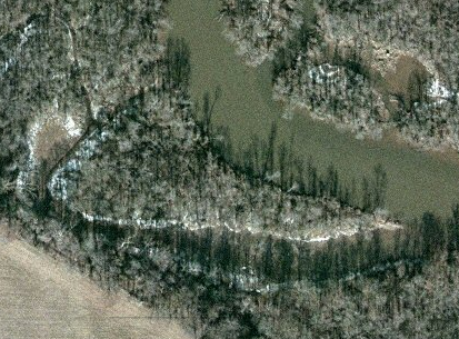
- Smith travels up the Pamunkey river to Opecancanough’s village on the
island.
- Opecancanough surrounds Smith’s 15 men with 700 warriors
- Smith Challenges Opecancanough to hand to hand combat in the middle of
the island
- “ Now therefore take your arms— as you see here are mine-my body shall
be as naked as yours— the island ‘in the river is a fit place for a
combat, and the conqueror of us two, shall be master of all. “
- John Smith -General Historie
- This ploy for individual combat fails, so Smith grabs Opecancanough by
the hair and puts a pistol to his chest and uses him as a hostage to
escape.
|
|
9
|
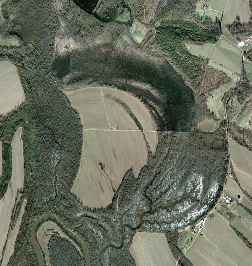
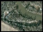
- Smith makes the engraving in
1624 of his 1606 memories to have the upper Pamunkey river filled with
little islands.
|
|
10
|
|
|
11
|
|
|
12
|
- “On the day agreed upon between the parties for commencing trade, the
captain, with fifteen of his men, went up a quarter of a mile from the
river to the Sachem’s house, the appointed rendezvous.”
- Biography: Or, An Historical Account of Those Individuals who Have Been
Distinguished...
By B. B. (Benjamin Bussey) Thatcher
- Common School Library of Useful and Entertaining Knowledge
- Second Series,No. VII.,Indian Biography,Vol 1, New York, Harper &
Brothers No. 82 Cliff-Street 1835
- Page 34
|
|
13
|
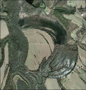
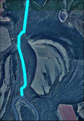
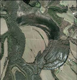
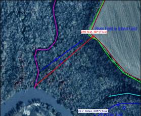
- Actual Measurement is 916 feet
|
|
14
|
|
|
15
|
|

 Notes
Notes